
Navigating Etosha National Park: Your Ultimate Safari Guide
Spanning over 22,270 square kilometers in northern Namibia, Etosha National Park is iconic for its massive salt pan and unparalleled game viewing. To make your road trip seamless, this interactive map combines official park infrastructure with surrounding accommodation, serving as your digital pocket guide to the bush.
What You Can Discover on the Interactive Map
Our live map index is loaded with specific geospatial coordinates, split into easily filterable layers:
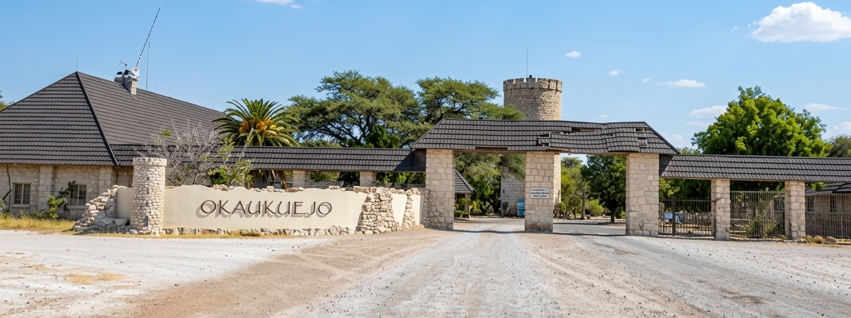
- Official Entry Gates: Locate the four main entry points into the park, check coordinates, and plan your driving times via our dedicated Gates Information page.
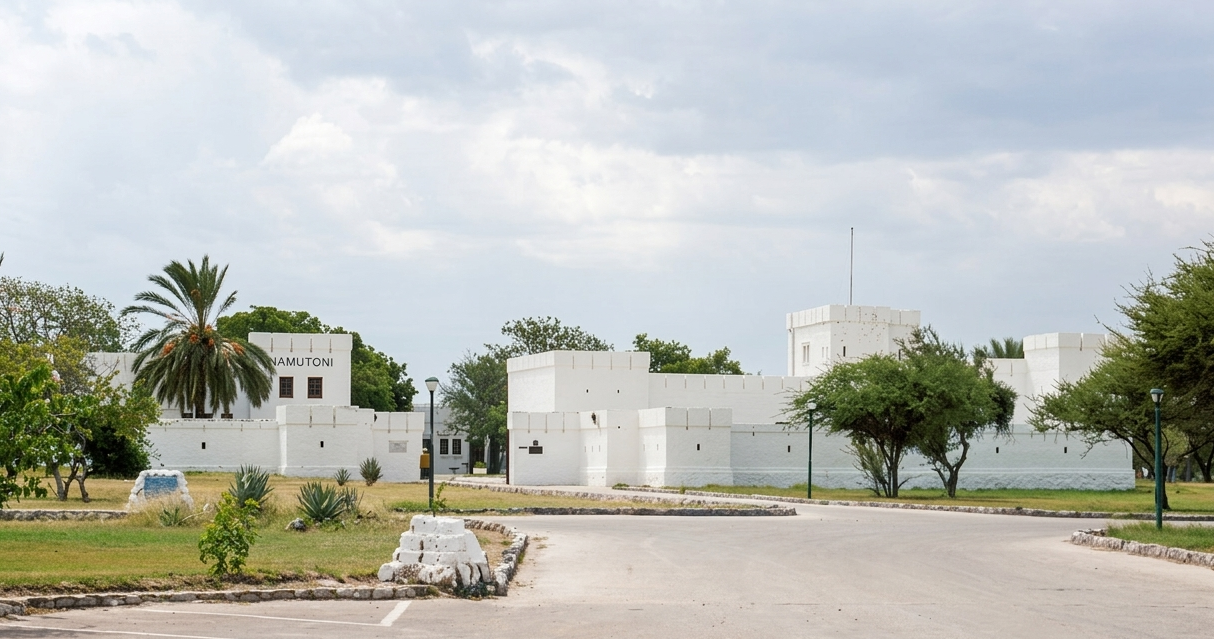
- NWR Rest Camps: Discover state-run resorts managed by Namibia Wildlife Resorts located inside the park boundaries—featuring protective fences, floodlit waterholes, and fuel stations. Learn more on our NWR Rest Camps Overview.
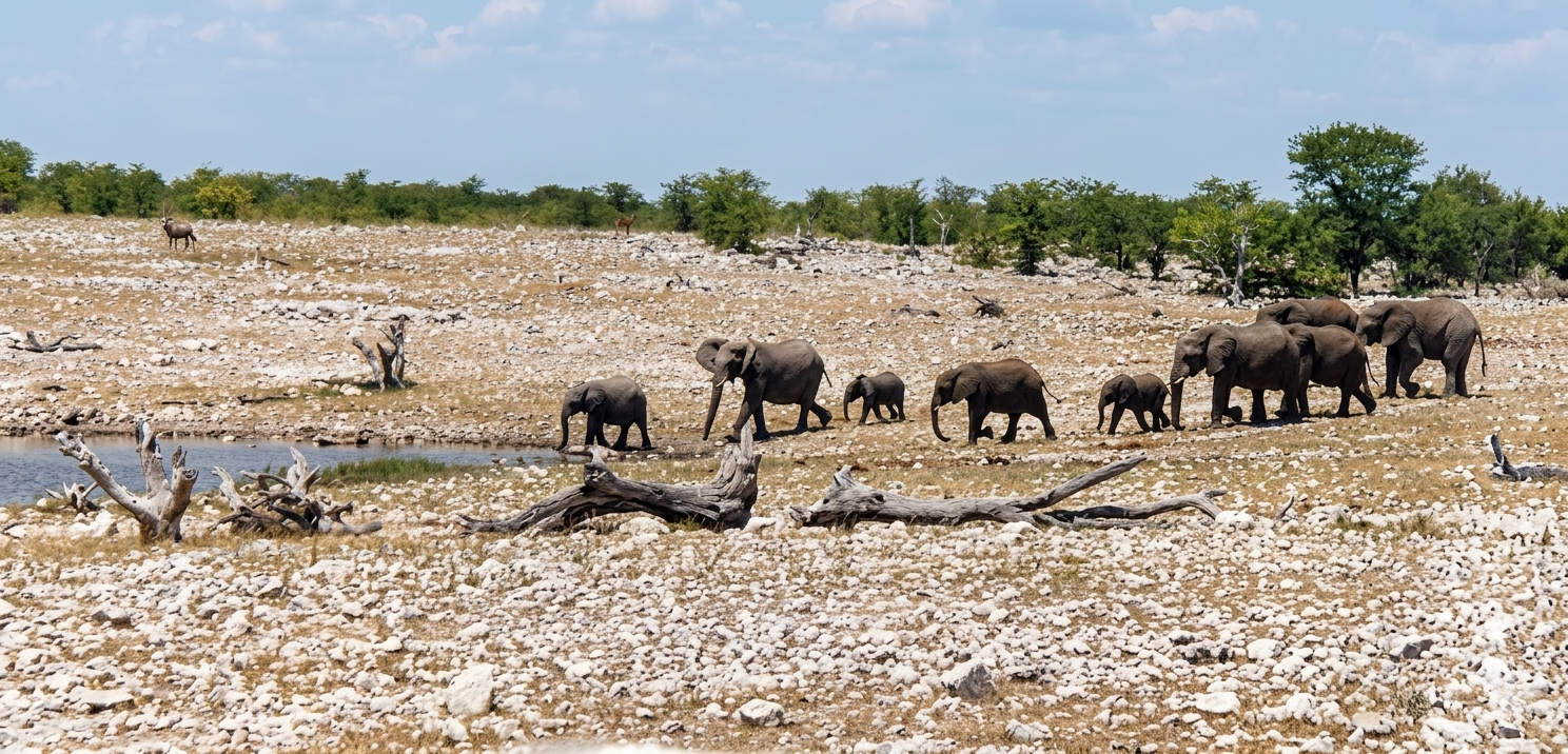
- Natural Springs & Waterholes: Pinpoint the best locations for watching elephants, lions, and endangered black rhinos gather during the dry season using our interactive layer or dive into the Top Waterholes Guide.
- Outside Accommodation: Find beautiful private retreats and campgrounds situated right outside the park boundaries. Use our comprehensive Lodge & Campsite Finder to filter by your preferences.
Explore Specialized Safari Planning Resources
Beyond our main interactive mapping software, this platform provides tailored sub-directories to help refine your itinerary. If you want to track predatory territories or learn about endemic bird species, use our Wildlife Explorer and read our comprehensive Wildlife Overview. For detailed pricing differences, tented setups, or high-end spa resorts, compare the best options using our Private Lodges Selections and Campsites Guides. Have general questions regarding park fees, seasonal opening hours, or safety regulations? Check out our helpful Etosha FAQ section.