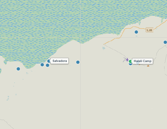
About Salvadora Waterhole
Situated directly along the southern shoreline of the vast Etosha Pan, Salvadora is a famous natural spring named after the Salvadora persica (Mustard Tree) bushes that grow around its elevated embankment. The parking area sits on a gentle ridge overlooking the spring and the shimmering salt flats beyond, giving visitors an exceptional, elevated vantage point.
Salvadora is widely celebrated for producing some of the most dramatic big cat interactions in central Etosha. The raised earth mound around the spring serves as a preferred lookout spot for lion prides and hunting cheetahs scanning the open pan for arriving prey. Enormous herds of plains zebras, wildebeest, and springbok line up daily across the white calcrete plains to reach the fresh drinking water.
Key Facts & Specifications
| Parameter | Details |
|---|---|
| Waterhole Type | Natural Spring (Perennial) |
| Structure | Natural spring basin nestled beneath an elevated embankment |
| Surrounding Vegetation | Mustard Tree bushes (Salvadora), dwarf scrub & saline pan edge |
| Best Time of Day | Early Morning & Late Afternoon (Big Cats & Golden Hour Photography) |
| Peak Season | Dry Season (June to November) |
| Parking Area | Elevated gravel parking loop with sweeping, panoramic pan views |

Targeting Lions, Cheetahs, or Zebra Herds?
Salvadora is legendary for open-plain big cat sightings and high-speed cheetah stalks. Use our Wildlife Finder to filter Etosha waterholes by your target species and locate prime predator territories.
Wildlife Sightings Matrix
| Species | Probability | Behavior / Notes |
|---|---|---|
| Plains Zebra | Very High (95%) | Massive herds queuing in long, orderly lines across the white pan flats |
| Lions | High (80%) | Prides using the elevated Salvadora embankment as an ambush lookout |
| Cheetah | High (60%) | Frequent daytime sightings scouting springbok along the open pan margin |
| Springbok & Oryx | Very High (90%) | Constant activity throughout daylight hours along the grassy banks |
| Elephants | High (75%) | Bull elephants and breeding herds traversing the pan track in late afternoon |

Exploring the Southern Pan-Edge Route?
Salvadora is situated near Charitsaub and Sasa waterholes. Plan your lunch or bathroom stop at nearby fenced rest sites like Springbokfontein or Halali Rest Camp.
Distances from Main Rest Camps & Gates
| Destination | Distance | Drive Time (Approx.) |
|---|---|---|
| Halali Resort | ~ 28 km | ~ 45 – 50 mins |
| Okaukuejo Resort | ~ 48 km | ~ 1.2 hr – 1.5 hr |
| Andersson Gate (South) | ~ 65 km | ~ 1.5 hrs |
| Namutoni Resort | ~ 98 km | ~ 2.5 hrs |

Plan Pan-Edge Drives & Download Offline PDFs
Driving the iconic central pan track between Okaukuejo and Halali? Use our interactive route planner to check track distances, monitor active MEFT road deviations (such as the Rhino Drive bypass), and save a printable PDF route map before losing cell coverage.
View Salvadora on Interactive Map
Waterhole Gallery
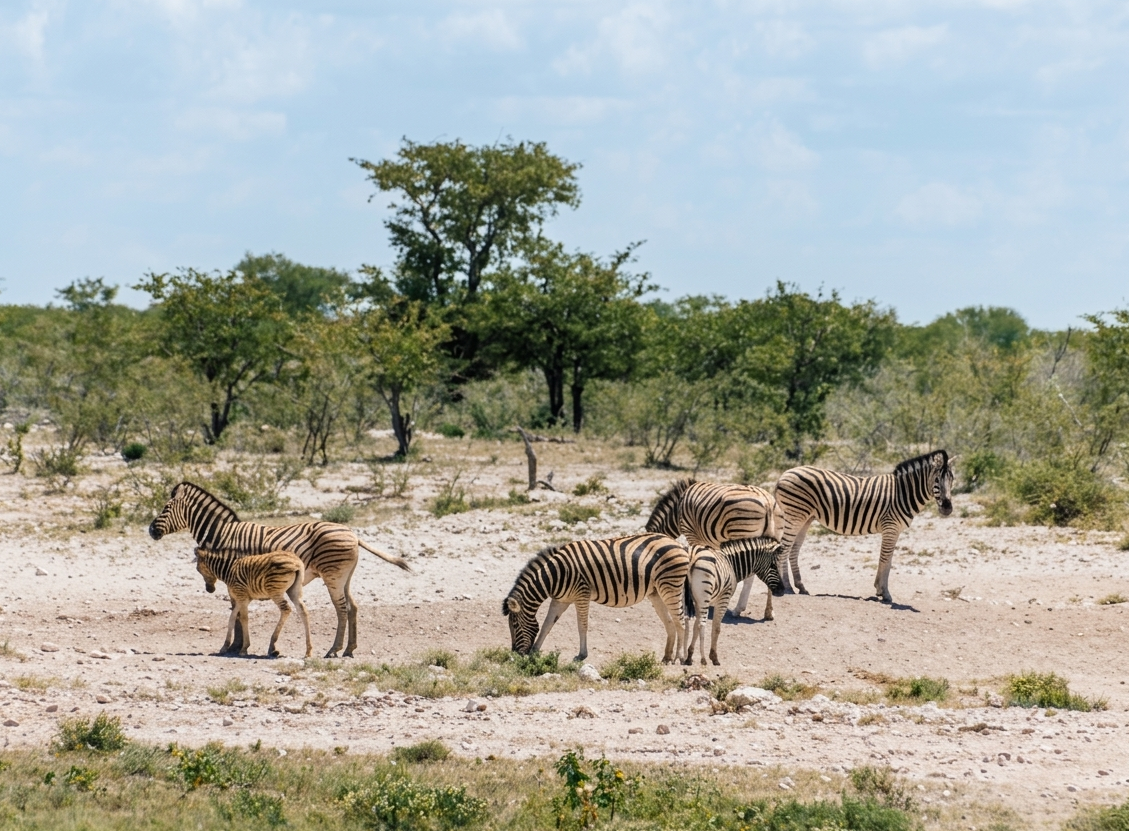
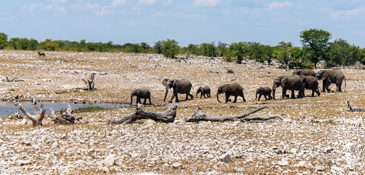
Images property of NWR / Stalin Kay
Quick Facts
- Region Central Etosha (Pan-Edge Loop)
- GPS Coords 19°02'04.1"S 16°16'10.9"E
- Water Source Natural Spring (Perennial)
- Key Attraction Lions, Cheetahs & Zebras
- Photo Quality World-Class (Elevated pan outlook)
- Shade Vehicle Parking Loop