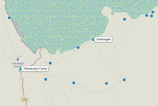
About Ondongab Waterhole
Situated roughly 25 kilometers southeast of Okaukuejo, Ondongab is a peaceful natural spring set along the chalky southern fringe of the immense Etosha Pan. Nestled between dwarf shrub savanna and open white lime flats, Ondongab offers a quieter, less congested alternative to neighboring main-road waterholes.
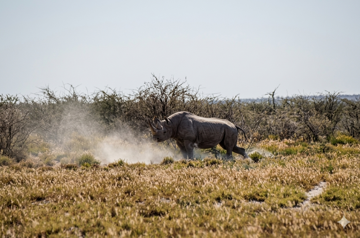
During the dry winter months, hundreds of plains zebras line up across the open plains to reach the fresh drinking pool. The open terrain around the spring gives stealthy lion prides a prime vantage point for hunting game as herds approach, while solitary black rhinos are occasionally observed visiting during the tranquil early morning and late afternoon hours.
Key Facts & Specifications
| Parameter | Details |
|---|---|
| Waterhole Type | Natural Spring (Perennial) |
| Structure | Shallow natural basin bordered by open calcrete flats |
| Surrounding Vegetation | Open dwarf shrub savanna & saline grasslands |
| Best Time of Day | Early Morning (Lions & Rhinos) / Afternoon (Zebras & Game) |
| Peak Season | Dry Season (June to November) |
| Parking Area | Gravel loop parking with wide, unobstructed pan views |

Targeting Zebras, Lions, or Black Rhinos?
Ondongab is a fantastic spot for watching vast zebra herds and stalking big cats. Use our Wildlife Finder to filter Etosha waterholes by your target species and build your daily game drive plan.
Wildlife Sightings Matrix
| Species | Probability | Behavior / Notes |
|---|---|---|
| Plains Zebra | Very High (95%) | Massive herds congregating continuously along the open banks |
| Lions | High (65%) | Prides using low shrub vegetation for cover to ambush drinking game |
| Black Rhino | Medium (40%) | Occasional early morning or dusk visits from nearby mopane sectors |
| Springbok & Oryx | Very High (90%) | Large numbers drinking alongside zebras throughout bright daylight hours |
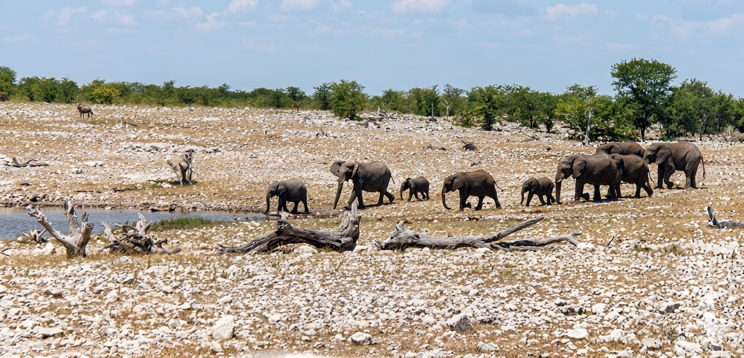
| Elephants | High (75%) | Family herds stopping by for afternoon drinks along the pan edge |

Taking a Loop Drive Along the Southern Pan?
Visiting Ondongab on your drive from Okaukuejo to Halali? Plan your lunch or restroom breaks at secure, fenced picnic areas like nearby Olifantsbad.
Distances from Main Rest Camps & Gates
| Destination | Distance | Drive Time (Approx.) |
|---|---|---|
| Okaukuejo Resort | ~ 25 km | ~ 30 – 35 mins |
| Halali Resort | ~ 52 km | ~ 1 hr |
| Andersson Gate (South) | ~ 42 km | ~ 45 mins |
| Namutoni Resort | ~ 117 km | ~ 2.1 hrs |

Plan Pan-Edge Drives & Download Offline PDFs
Driving the southern pan track between Okaukuejo and Halali? Use our interactive route planner to check track distances, monitor active MEFT road deviations (like the Rhino Drive bypass), and save a printable PDF route map before losing cell service.
View Ondongab on Interactive Map
Waterhole Gallery
Images property of NWR / Stalin Kay
Quick Facts
- Region Central-Southern Etosha (Pan Edge)
- GPS Coords 19°06'13.2"S 16°06'38.1"E
- Water Source Natural Spring (Perennial)
- Key Attraction Zebras, Lions & Black Rhinos
- Photo Quality Great (Unobstructed pan background)
- Shade Vehicle Parking Loop