About Charitsaub Waterhole
Situated just south-west of Salvadora along the southern edge of the Etosha Pan, Charitsaub is a productive natural artesian spring. Emerging into a grassy depression surrounded by sweet-grass plains and low scrub, it provides a crucial drinking spot for game moving between the open pan and the southern woodland zones.
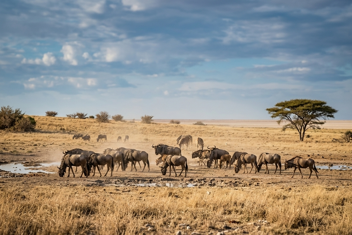
Because of its lush grass fringe and open sightlines, Charitsaub is a magnet for immense herds of plains zebras and graceful springbok. Resident lion prides frequently patrol the area or rest in nearby low thickets, taking advantage of the constant stream of animals approaching the water throughout the day.
Key Facts & Specifications
| Parameter | Details |
|---|---|
| Waterhole Type | Natural Artesian Spring (Perennial) |
| Structure | Natural grassy depression fed by underground pressure |
| Surrounding Vegetation | Sweet-grass plains, dwarf shrub savanna & calcrete flats |
| Best Time of Day | Early Morning (Lions & Predators) / Midday (Zebras & Springbok) |
| Peak Season | Dry Season (June to November) |
| Parking Area | Elevated gravel loop offering wide views over the spring basin |

Tracking Lions, Zebras, or Springbok?
Charitsaub is a classic central pan-edge spring for predator-prey action. Use our Wildlife Finder to filter Etosha waterholes by target species and discover where wildlife gathers most reliably.
Wildlife Sightings Matrix
| Species | Probability | Behavior / Notes |
|---|---|---|
| Plains Zebra | Very High (95%) | Large herds gathering continuously along the grassy spring edge |
| Springbok | Very High (95%) | Massive numbers grazing on the surrounding sweet-grass plains |
| Lions | High (75%) | Prides using nearby low bushes for cover to ambush approaching game |
| Cheetah | Medium (50%) | Occasional daytime hunts across the open grassy flats |
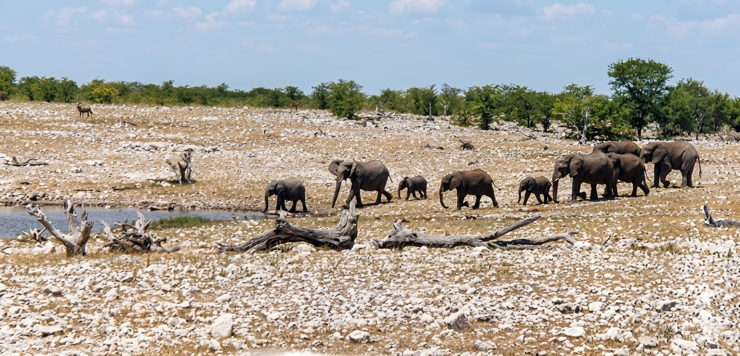
| Elephants | High (70%) | Breeding herds stopping by during afternoon drives across the central loop |

Exploring the Southern Pan Circuit?
Charitsaub is located near Salvadora and Sasa. Plan full rest breaks and lunch stops at nearby fenced sites like Springbokfontein or Halali Rest Camp.
Distances from Main Rest Camps & Gates
| Destination | Distance | Drive Time (Approx.) |
|---|---|---|
| Halali Resort | ~ 29 km | ~ 35 – 40 mins |
| Okaukuejo Resort | ~ 47 km | ~ 55 mins |
| Andersson Gate (South) | ~ 64 km | ~ 1.1 hrs |
| Namutoni Resort | ~ 99 km | ~ 1.8 hrs |

Plan Pan-Edge Drives & Download Offline PDFs
Driving the central track between Okaukuejo and Halali? Use our interactive route planner to calculate exact distances, check active MEFT road deviations (such as the Rhino Drive bypass), and save a printable PDF route map before setting off with limited mobile coverage.
View Charitsaub on Interactive Map
Waterhole Gallery
Images property of NWR / Stalin Kay
Quick Facts
- Region Central Etosha (Pan-Edge Loop)
- GPS Coords 19°02'37.1"S 16°15'56.8"E
- Water Source Artesian Spring (Natural)
- Key Attraction Lions, Zebras & Springbok
- Photo Quality Excellent (Wide open vistas)
- Shade Vehicle Parking Loop
