About Batia Waterhole
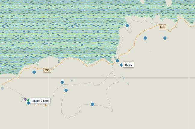
Situated in the eastern plains sector roughly midway between Halali and Namutoni, Batia is a natural spring set in a wide, sweeping basin. Surrounded by short sweet-grass savanna and open limestone flats, Batia offers exceptional visibility across the surrounding countryside from its well-positioned parking area.
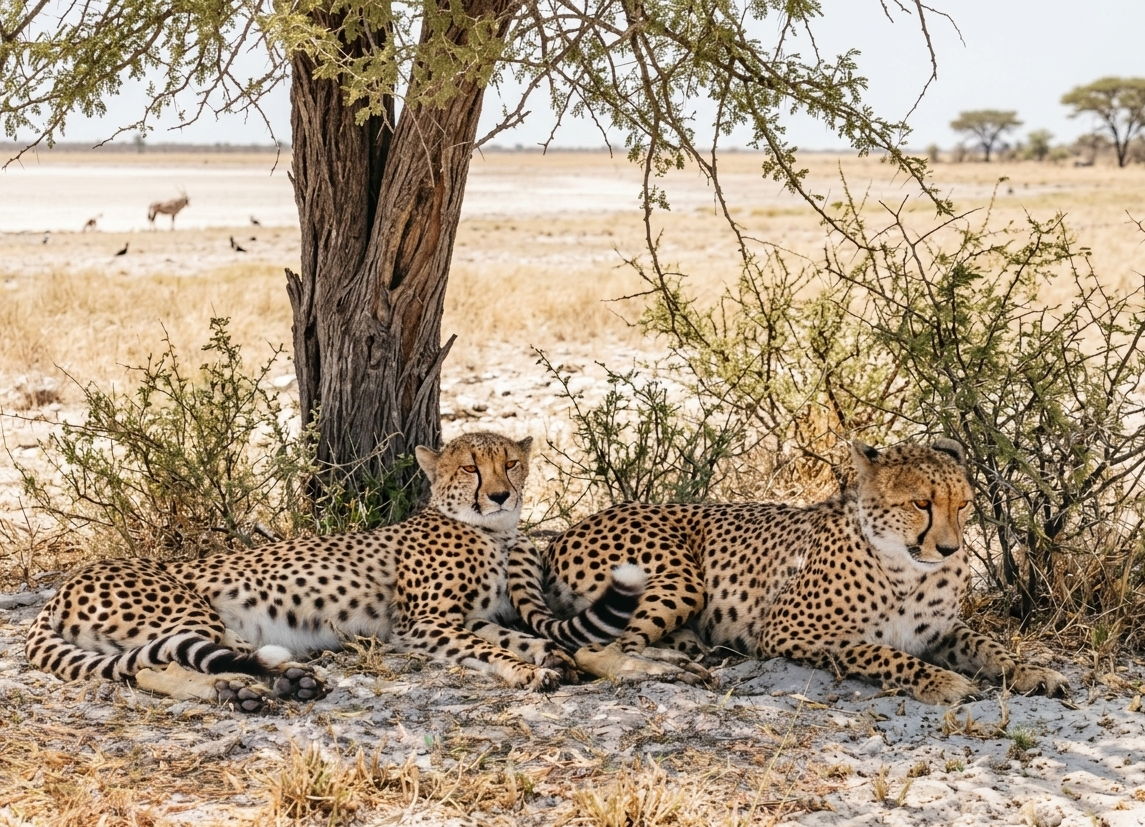
The vast, open grassland around Batia makes it a favored hunting ground for cheetahs, which utilize small termitaria or low bushes as observation posts before sprinting after springbok or young wildebeest. Large journeys of giraffes and sprawling herds of blue wildebeest regularly gather here throughout the dry season, creating iconic wildlife panoramas.
Key Facts & Specifications
| Parameter | Details |
|---|---|
| Waterhole Type | Natural Spring (Perennial) |
| Structure | Shallow natural basin surrounded by wide grassy flats |
| Surrounding Vegetation | Sweet-grass plains, dwarf shrub savanna & scattered acacia scrub |
| Best Time of Day | Early Morning & Late Afternoon (Cheetah Activity & Giraffes) |
| Peak Season | Dry Season (June to November) |
| Parking Area | Gravel loop offering multi-angle views across the open savanna |

Targeting Cheetahs, Giraffes, or Blue Wildebeest?
Batia is a renowned open-savanna hotspot for swift predators and large plains game herds. Use our Wildlife Finder to filter Etosha waterholes by species and locate high-probability sighting locations.
Wildlife Sightings Matrix
| Species | Probability | Behavior / Notes |
|---|---|---|
| Cheetah | High (65%) | Scouting prey from termite mounds on the surrounding open grass plains |
| Giraffe | Very High (90%) | Multiple journeys drinking and striding across the wide horizon |
| Blue Wildebeest | Very High (95%) | Large herds congregating along the grassy perimeter during midday |
| Plains Zebra & Springbok | Very High (95%) | Constant activity throughout daylight hours on the open flats |
| Lions | Medium (45%) | Occasional early morning visits or resting in distant tree clumps |

Driving Between Halali & Namutoni?
Batia is perfectly positioned on the long east-west drive. Combine your stop here with a lunch or stretch break at secure, fenced rest sites like Springbokfontein or Namutoni Resort.
Distances from Main Rest Camps & Gates
| Destination | Distance | Drive Time (Approx.) |
|---|---|---|
| Halali Resort | ~ 38 km | ~ 45 mins |
| Namutoni Resort | ~ 35 km | ~ 40 mins |
| Von Lindequist Gate (East) | ~ 48 km | ~ 50 mins |
| Okaukuejo Resort | ~ 108 km | ~ 2 hrs |

Plan Eastern Savanna Drives & Save Offline PDFs
Traversing the eastern sector between Halali and Namutoni? Use our interactive route planner to check track distances and export a printable offline PDF route map before heading into low-reception areas.
View Batia on Interactive Map
Waterhole Gallery
Quick Facts
- Region Eastern Sector (Halali-Namutoni Track)
- GPS Coords 18°56'54.1"S 16°42'25.2"E
- Water Source Natural Spring (Perennial)
- Key Attraction Cheetahs, Giraffes & Wildebeest
- Photo Quality Excellent (Wide open savanna background)
- Shade Vehicle Parking Loop